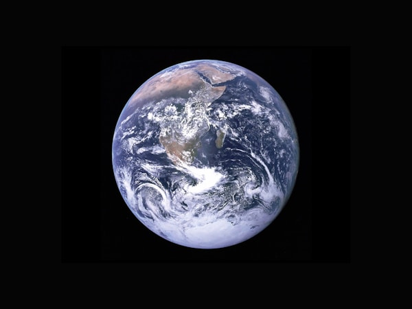
Our universe's story, told from orbit.
A monthly subscription delivering curated satellite imagery as physical postcards. Every month, we send you satellite imagery from NASA, ESA, or NOAA. The science happening in orbit, delivered to your mailbox.
$24 / year — 12 postcards delivered
Recent downlinks from orbit

Mediterranean Basin
Captured via NOAA-20 • 2024

Hurricane Formation
GOES-16 Imagery • Atlantic

Nocturnal Illumination
Suomi NPP • Night Band
Atmospheric Limb
ISS Earth Obs • 2024
Saharan Dune Fields
Landsat-9 • True Color

Antarctic Ice Shelf
Sentinel-2 • Multispectral
What you receive every month
Curated Imagery
Each month, we sift through thousands of satellite passes from NASA, ESA, and NOAA to find significant and visually stunning captures.
The Story Behind the Image
Every transmission includes the mission brief: location, satellite, capture date, and the science behind the shot. Context that transforms observation into understanding.
Delivered as Postcards
Physical 6×11 postcards, delivered monthly. Share them, pin them up, or keep a growing archive of Earth's year in orbit.
Physical parameters
- Dimensions 6" × 4" (152 × 102mm)
- Stock 350gsm Museum Cotton
- Finish Matte UV Coating
- Frequency Monthly Dispatch
- Data Sources NASA, ESA, NOAA
One price. Twelve transmissions.
That's $2.00 per postcard — including worldwide shipping to your coordinates.
- 12 curated postcards annually
- Free worldwide shipping
- Educational context on reverse
- Cancel transmission anytime